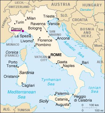
Location of the lab of Telematics
Genoa has a great harbour, for both goods and passengers, an airport and is served by several highways (A7, A10, A12, A26) and railway lines (Genova-Torino, Genova-Milano, Genova-Ventimiglia and Genova-LaSpezia).
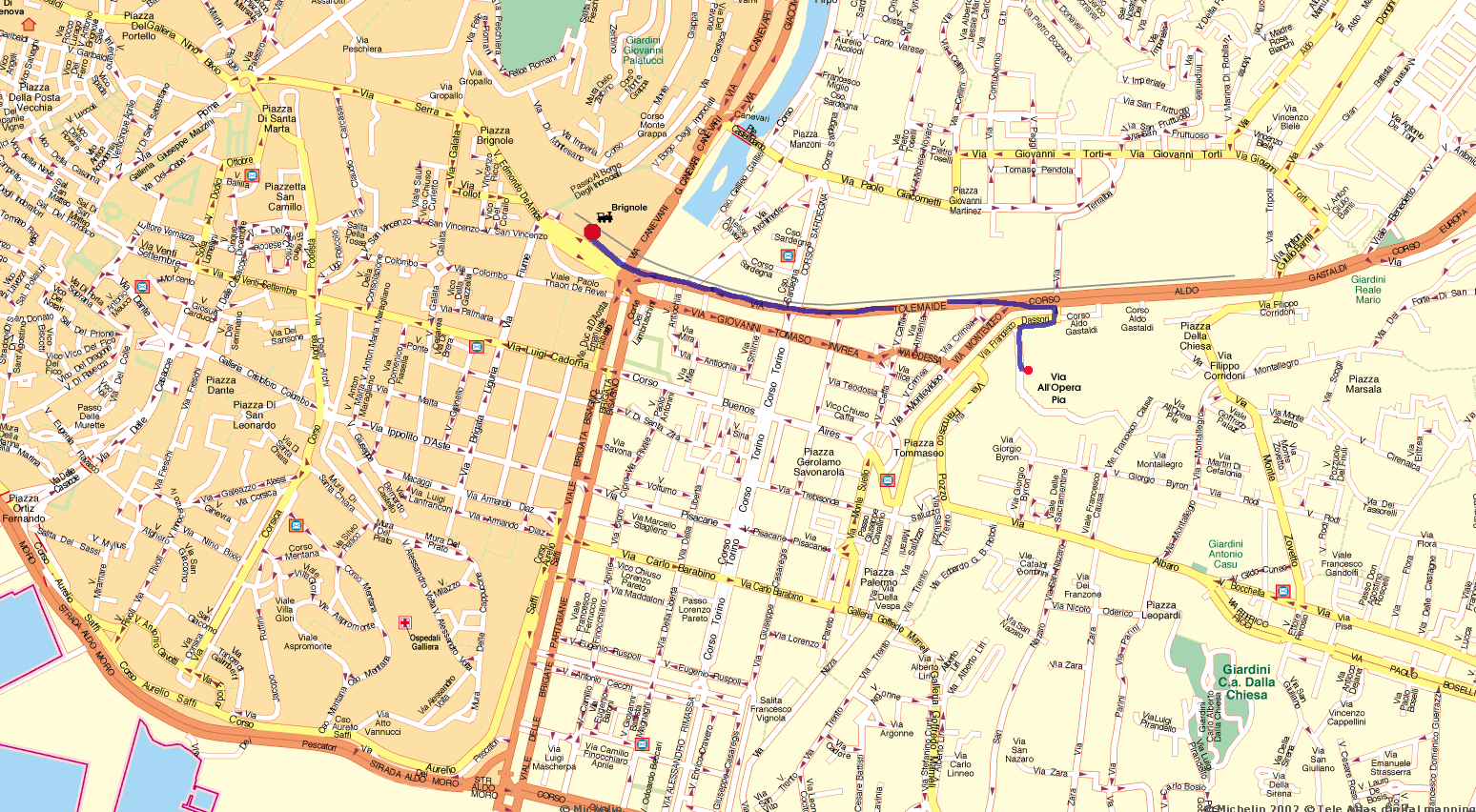
Turn right out of the station, cross Piazza delle Americhe (near the skyscaper of Corte Lambruschini) and then walk through Corso Tolemaide (the road running along the railway). Turn right to Via Francesco D'Assori (in front of the bridge over the railway) and then go up the stairs you find on the left. In the middle of the stairs there is a door in the wall that leads directly to the front of the DIST. See the map for more details or alternative routes.
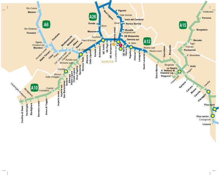
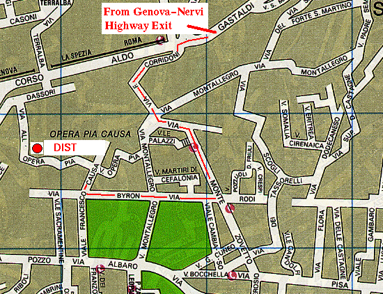
The simplest way is to exit the highway at Genova Nervi, then turn left into Corso Europa and go ahead through Via Corridoni (on the right, just passed S. Martino Hospital.
After this, go into Via Monte Zovetto, turn right into Via Byron and then turn right again in Viale Causa, that ends with Via dell'Opera Pia.
More information on the Italian highways can be found directly on the website of Societa' Autostrade.
More information on how to reach Genoa can also be found on the Liguria tourism website or in the Porto Antico web pages.